
From real-time crop monitoring to precision seeding, aerial data helps you see and act on what's happening across every acre — spotting problems early and covering ground no ground crew can match.
From real-time crop monitoring to precision seeding, aerial data helps you see and act on what's happening across every acre — spotting problems early and covering ground no ground crew can match.
Our drone-based crop monitoring service provides real-time aerial imaging and data collection, allowing farmers to observe crop conditions, growth stages, and identify areas that require attention.
 Field Observation
Unlock the secrets of your fields with advanced crop health analysis. Using multispectral and thermal imaging, we assess plant health, chlorophyll levels, and potential disease threats — giving you invaluable insight into your crops' vigor all season long.
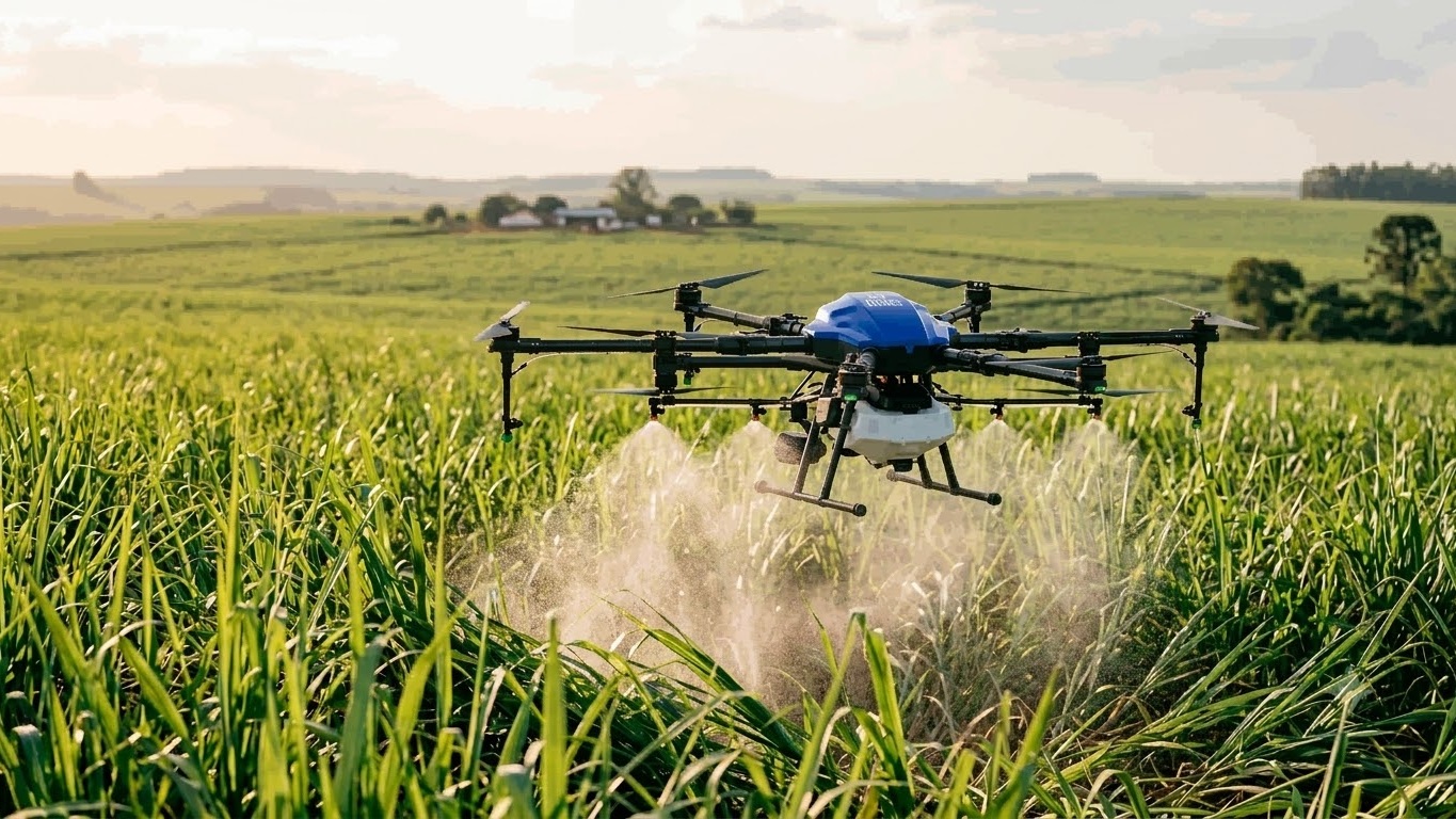 Spectral Analysis
Say goodbye to uneven pesticide application with precise drone-based spraying. Equipped with cutting-edge spraying systems, our drones ensure uniform distribution, covering vast areas swiftly and efficiently.
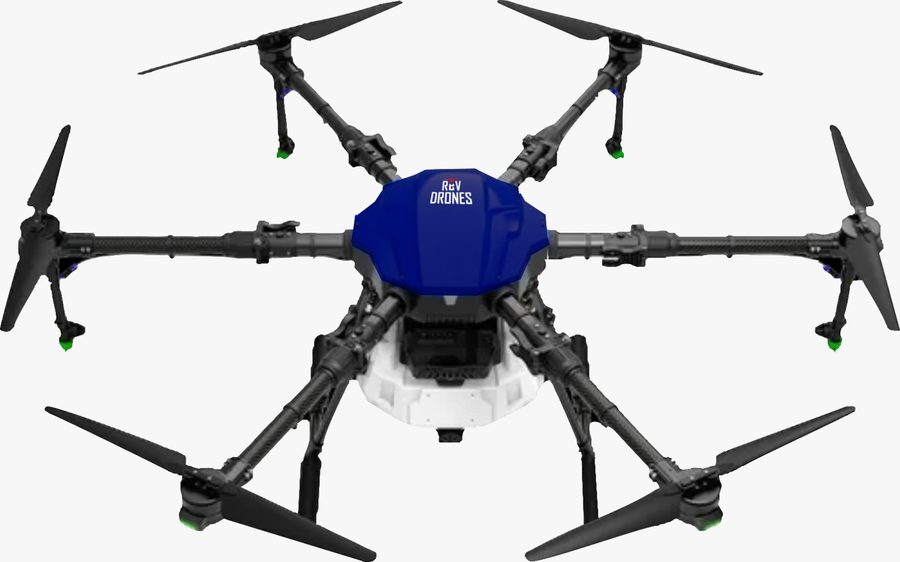 Precision Application
Transform your agricultural planning with comprehensive farm survey methods. High-resolution drone imagery creates detailed 2D and 3D maps of your terrain, including soil analysis and optimized land use planning.
 Elevation Topo
Perfect for reforestation projects, cover cropping, and challenging terrains — our drones evenly distribute seeds over large areas, reaching every corner of your land, even the hard-to-access spots.
 Autonomous Seeding
Reach remote areas easily.
Quick data collection and delivery.
Precision with aerial insights.
Cost-effective tech solutions.
Sprays an acre in under 15 minutes.
Spots health problems before they're visible.
Reaches tough areas like slopes and marshes.
Tell us about your agriculture project — we'll scope the right drone service for it.