
Mining sites are vast, hazardous, and constantly changing. Aerial mapping and monitoring give you a current, accurate picture of the site without putting people in harm's way.
Mining sites are vast, hazardous, and constantly changing. Aerial mapping and monitoring give you a current, accurate picture of the site without putting people in harm's way.
Detailed 3-D maps of mining sites, capturing topographic data and providing insights for planning, excavation, and resource management — helping you extract maximum value safely.
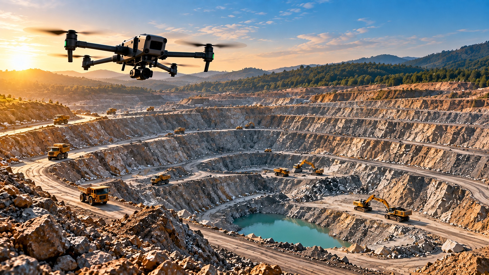 Volumetric Cloud
Our drones monitor blasting operations, capturing data on blast patterns and fragmentation to ensure safety, minimize environmental impact, and improve operational efficiency.
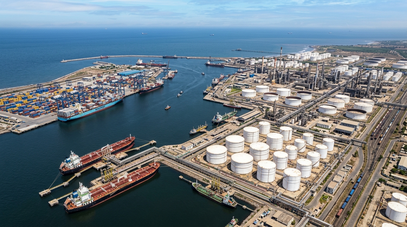 Blast Analysis
Real-time security surveillance of mining sites, monitoring for unauthorized access, perimeter breaches, and safety hazards — safeguarding assets and personnel around the clock.
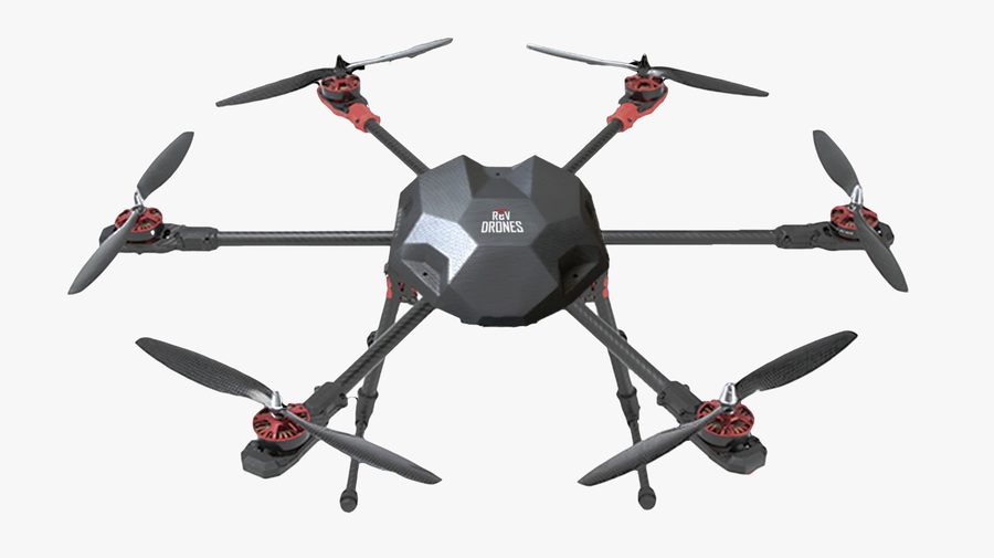 Perimeter Telemetry
Reach remote areas easily.
Quick data collection and delivery.
Precision with aerial insights.
Cost-effective tech solutions.
Accurate terrain data drives better decisions.
Cover large sites in a fraction of the time.
Data-backed blast pattern analysis.
Tell us about your mining project — we'll scope the right drone service for it.